



Setting Up Your eSIM Before You Land: Why Waiting Costs You
Most first-time visitors assume they will just buy a SIM card at the airport kiosk. In practice, those kiosks often have long lines, limited stock, and prices inflated for jet-lagged tourists who have no other option.
An eSIM, a digital SIM profile installed directly on your phone without a physical card, solves this because you can install and activate it before you even board your outbound flight. You land, switch on data roaming for the eSIM, and you are online before you reach baggage claim.
Practical steps:
- Install your eSIM profile at home over your regular WiFi, ideally two to three days before departure
- Confirm your phone is unlocked and eSIM-compatible; most iPhones from the XS onward and recent Android flagships support it
- Leave the plan inactive until you land: most Voye Global plans activate on first network connection, not on install
- Screenshot your QR code and confirmation email in case you need to reinstall
If you are unsure whether your handset supports this, our iPhones and eSIMs guide covers compatibility in plain terms, and the essential eSIM checklist is worth running through the night before you fly.
City Coverage vs. Rural Highway Coverage: What Actually Changes?
Inside Manhattan, downtown Chicago, or the Las Vegas Strip, you will get strong 4G and 5G coverage from nearly any network. The gap opens once you drive out of metro areas.
US carriers lease coverage from a small number of underlying network owners, and rural highway coverage depends heavily on which towers your eSIM’s partner network can roam onto. A plan that works flawlessly in Los Angeles can drop to a single bar of LTE, or nothing, on I-40 through rural Arizona.
What to expect by region:
- Northeast corridor (Boston to Washington DC): dense coverage almost everywhere, including on Amtrak routes
- Midwest interstates: reliable near cities, patchy between small towns
- Mountain West (Wyoming, Montana, parts of Utah): long stretches with no signal at all
- Desert Southwest (Nevada, parts of Arizona and New Mexico): coverage clusters around towns, empty in between
Before you commit to a route, it helps to read up on which states handle tourists and connectivity best. Our guide to the best US states for international travelers breaks down where coverage and attractions overlap most conveniently.
Cover Every Mile of Your Route
Choose a data plan sized for tolls, parks, and cross-state driving
Using Data for Tolls, Parking Apps, and Rideshares
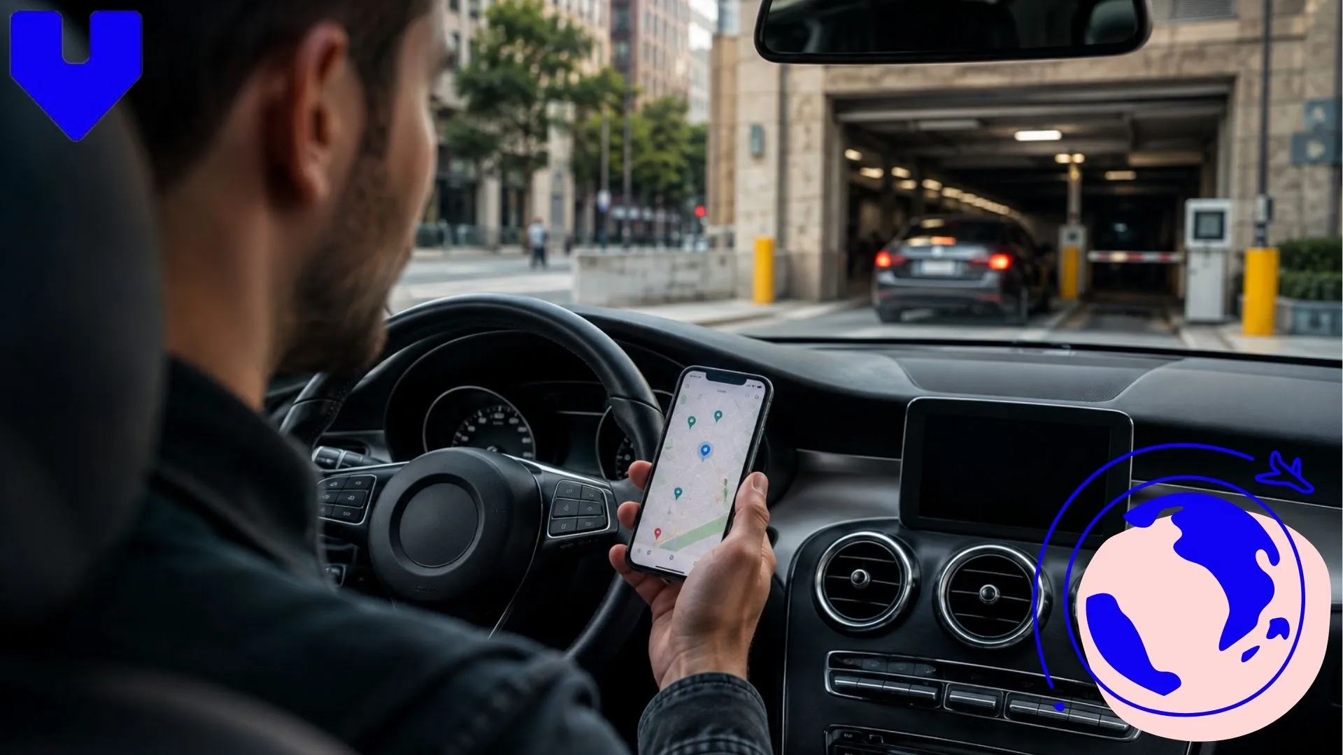
A lot of everyday US travel now runs through apps rather than cash. Toll roads around New York, Florida, and California increasingly expect payment through an app or a rental car’s built-in transponder, and parking in most downtown areas means opening an app like ParkMobile or SpotHero rather than feeding a meter.
This is where a working eSIM connection from the moment you land actually saves money, not just convenience. Missed tolls without an E-ZPass account often get billed to your rental car company with an added administration fee, sometimes $25 or more per violation.
Apps you will likely rely on:
- Uber or Lyft for rideshares in cities where parking is expensive or impractical
- Google Maps for real-time traffic rerouting around highway construction
- ParkMobile, SpotHero, or PayByPhone for city parking
- Your rental company’s app for toll pass activation
If you plan to browse Google Maps offline as backup for weak signal stretches, our guide on using Google Maps without internet explains how to pre-download routes before you leave a city.
Check out our plans
-

United States 7 days 6 GB
USD 12.00 -
United States 15 days 10GB
USD 17.00 -
United States 30days 15GB
USD 26.00 -
United States 30 days 25GB
USD 42.00
National Parks and Remote Stretches Where Signal Disappears
National parks are usually the highlight of a US road trip, and also where connectivity fails most completely. Grand Canyon’s South Rim has patchy coverage near the visitor center and almost none along the rim trails. Yellowstone, Zion, and Death Valley have similar dead zones, sometimes for 40 or 50 miles at a stretch.
This matters for two reasons. First, safety: if your car breaks down on a remote park road, you may not be able to call for help until you reach a ranger station or a town. Second, planning: download your park maps, lodging confirmations, and driving directions before you enter, because you will not be able to load them once inside.
Tips for park stretches:
- Download offline maps for the park and the nearest 50 miles of highway before arrival
- Tell someone your route and expected arrival time before you lose signal
- Carry a physical paper map as backup, most park visitor centers hand these out free
- Reconnect at visitor centers and lodges, which usually have WiFi even when cell signal is weak outside
For broader trip budgeting around stops like these, our USA trip cost guide is a useful companion while you map out fuel, lodging, and park entry fees.
Choosing a Plan Sized for a Two-Week Cross-Country Trip?
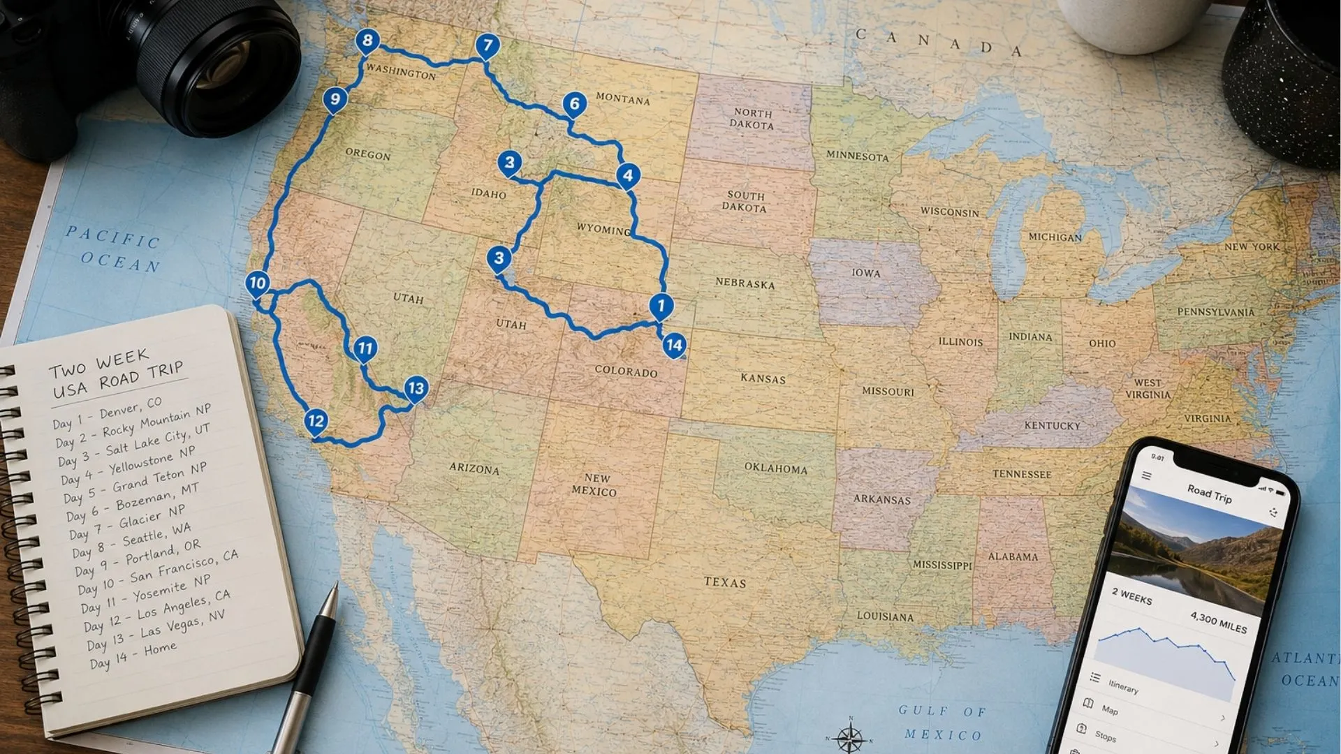
A two-week US road trip typically covers 2,000 to 3,000 miles if you are moving between four or five major regions, say New York down to Washington DC, across to Nashville, and out toward Chicago. Data usage adds up fast when you are navigating constantly, streaming music, and posting updates each night.
Rough daily data use for a typical traveler:
- Navigation running most of the day: 1 to 2 GB
- Music or podcast streaming over data: 500 MB to 1 GB
- Photo backups, messaging, and browsing: 500 MB to 1 GB
That puts a realistic two-week total somewhere between 15 GB and 25 GB for one active traveler, more if you are also hotspotting a laptop for remote work. Rather than guessing, it is worth comparing your route against our dedicated eSIM for road trips guide, which breaks down data needs by trip length, and our full USA eSIM guide if you want plan-by-plan detail.
If your trip mixes remote work with sightseeing, such as answering emails from a coffee shop in Austin between stops, our eSIM for business travel article covers how to size a plan around hotspot use specifically.
Stay Reachable in Remote Stretches
Keep navigation and messages working before signal drops on the highway
Final Thoughts Before You Fly
The difference between a stressful US road trip and a smooth one usually comes down to preparation done before departure, not gear bought at the airport. Install your eSIM ahead of time, expect coverage gaps outside major cities and inside national parks, and size your data plan for genuine daily use rather than a rough guess.
For a full picture of how eSIM technology fits into modern travel more broadly, our piece on eSIM innovation transforming international travel is worth a read, and you can browse Voye Global’s full range of destination plans directly from the Voye Global eSIM plans before you pack your bags.
Frequently Asked Questions
Most first-time visitors plan 10 to 14 days to cover a few regions without rushing. If your route includes a usa road trip eSIM setup across multiple states, add extra days for driving time between cities rather than back-to-back stops.
Start with your visa or ESTA approval, then book flights into one major hub city rather than multiple entry points. Map your route, install your eSIM before departure, and confirm coverage along highway stretches you plan to drive.
Budget travelers typically spend $2,000 to $3,500 for two weeks including flights, mid-range hotels, a rental car, and meals. Costs rise quickly in cities like New York or San Francisco, so factor in higher lodging there.
Travelers from Visa Waiver Program countries can apply for ESTA authorization instead of a full visa, valid for stays up to 90 days. Everyone else needs a B-2 tourist visa arranged in advance through a US embassy or consulate.
Spring (April to June) and fall (September to October) offer mild weather and fewer crowds across most regions. Summer suits national parks and coastal trips, while winter works best for cities and ski destinations depending on your route.
An eSIM is the fastest option since you install it online before you fly and activate it the moment you land. This avoids airport kiosk lines and lets your usa road trip eSIM work from the arrivals hall onward.
New York City, Los Angeles, San Francisco, and Chicago cover distinct sides of the country and connect well by flight. Pairing two or three of these with a short road trip stretch gives a balanced first visit.
Road trips suit regions with clustered attractions, like the Southwest national parks, while flying works better for coast-to-coast distances. Many travelers combine both, driving locally and flying for longer jumps between regions.

Seamless Mobile Data Everywhere














 English